
How Zoning Assist works
Development rules live in a city's zoning map and municipal code, and they're often hard to read. Zoning Assist turns them into a short report for one address, and shows you where every value came from.
Where our data comes from
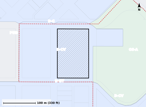
We find the parcel on the city's official zoning map, then read that district's standards from the city's adopted code. Each value cites the code section. Flood zones come from FEMA's National Flood Hazard Layer. Every source and its date is listed on the last page of the report and on our Data sources page.
How we check it
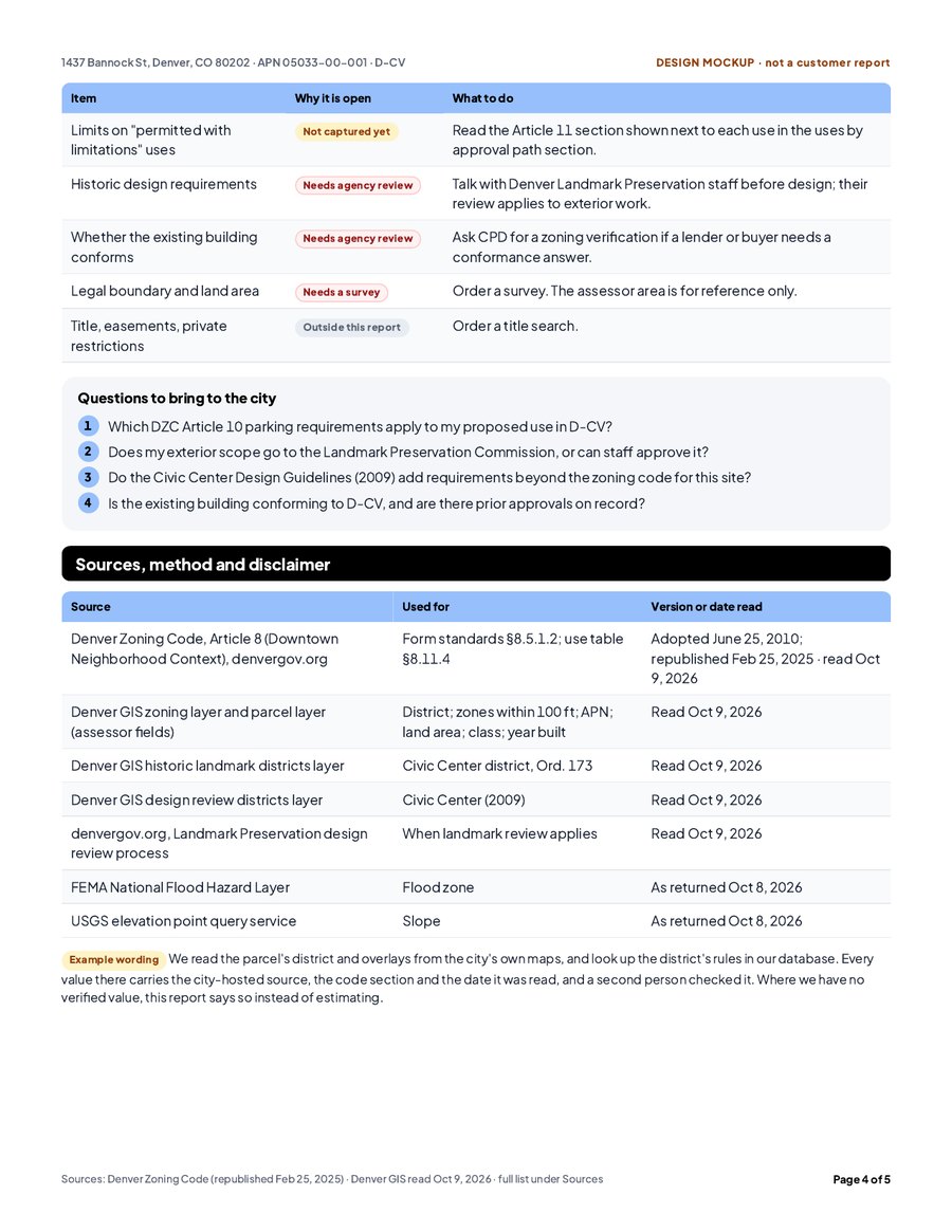
Before a city goes on sale, its data passes a checklist. A second reviewer, not the person who entered the data, confirms the district list and a sample of standards against the code. Test addresses run again after every change. Only cities that pass go on sale.
Where AI is used
We use AI models to help write the short summary at the top of the report. The summary only restates cited facts from the report, and it's labeled as AI-generated.
How every value is labeled
How to use your report
As a fast, cited first read of one parcel. Share it with your team, take its questions to the planning department, then order the formal documents your deal needs.
Who we are
Zoning Assist LLC is an Arizona company based in Scottsdale. Questions? Email [email protected].